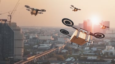
Drone Solutions for Urban Planning and Development
Exploring the use of drones in urban planning and development to solve complex problems.


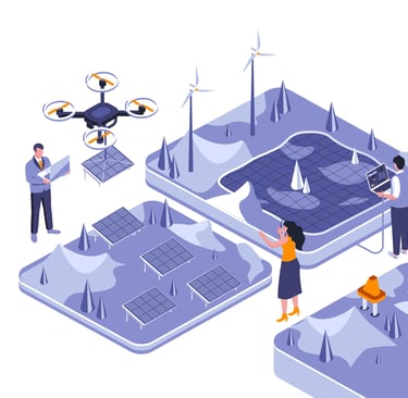
Aerial Drone Solutions for Urban Planning
We provide reliable drone-based aerial surveying and mapping services to support urban planning and infrastructure development. Our solutions help capture accurate top-view imagery and 3D models that assists in project visualization, land assessment, and monitoring of construction progress.
By using modern UAV technology, we aim to make urban development more efficient, data-driven, and sustainable- empowering planners and engineers with actionable insights from above.
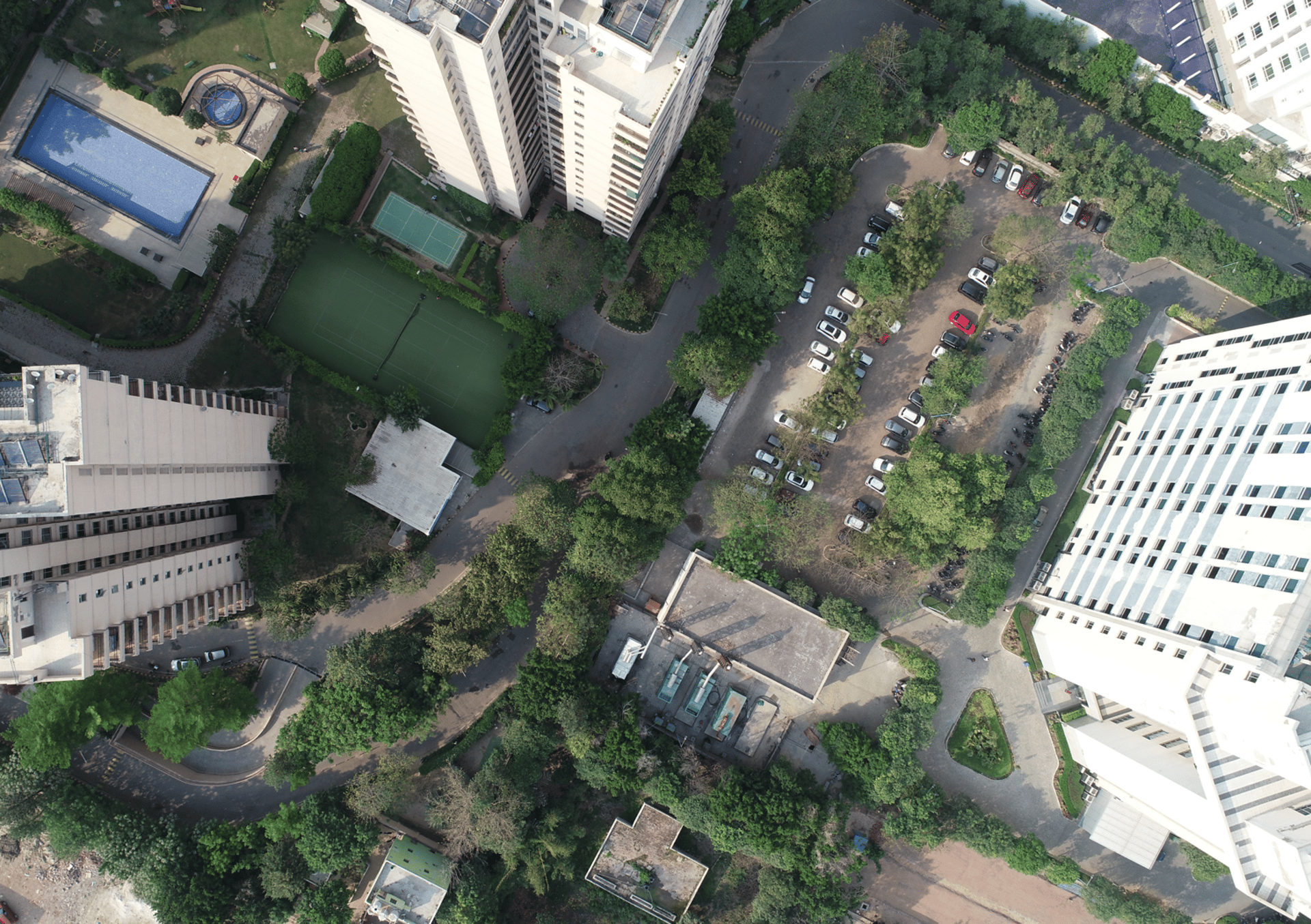
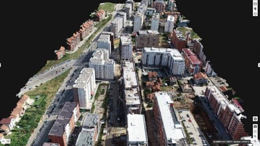
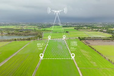
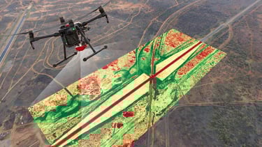
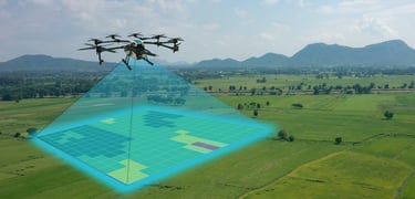
Mapping & Surveying
High-resolution 2D aerial mapping of entire cities.
Creating 3D city models for future urban development.
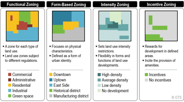
Land use and zoning analysis (residential, commercial, green zones).
Property boundary mapping for land records.
Topographic surveys for new city extensions.
Urban slum mapping for redevelopment projects.
Digital Elevation Models (DEMs) for flood-prone areas.
Underground utility detection (with drone LiDAR).
Mapping of heritage sites in cities.
Updating outdated municipal maps with drone data.
Population density estimation using aerial imagery.
Virtual reality (VR) city models for planners and citizens.
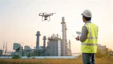
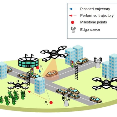
Infrastructure Development & Monitoring
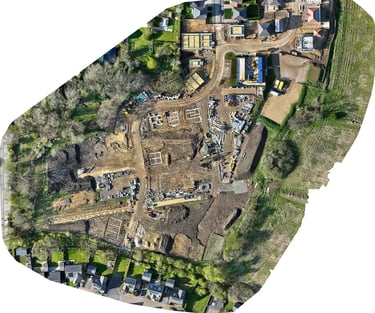
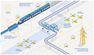
Monitoring construction progress of highways, metro projects, and bridges.
Inspection of tall buildings, towers, and flyovers.
Tracking delays or quality issues at construction sites.
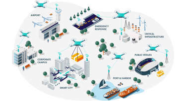
Smart city infrastructure monitoring (lighting, utilities, roads).
Assessing land leveling and grading for new developments.
Monitoring new residential or industrial zone layouts.
Inspection of public utilities (water tanks, pipelines).
Structural health monitoring of bridges and flyovers.
Measuring excavation volumes at sites.
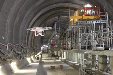
Drone LiDAR for underground metro planning.
Providing investors with real-time construction updates.
Transportation & Traffic Planning
Road network and layout surveys.
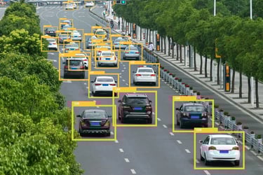
Traffic congestion analysis at busy intersections.
Planning for new metro and railway corridors.
Monitoring traffic flow during peak hours.
Identifying accident-prone areas.
Evaluating parking space usage.
Route optimization for public transport planning.
Studying pedestrian movement in crowded areas.
Planning for bicycle tracks and eco-friendly roads.
Assessing highway expansion needs.
Monitoring overbridges and flyovers during construction.
Drone LiDAR for new tunnel planning.
Analyzing effects of new malls or complexes on traffic.
Emergency route mapping for ambulances/fire trucks.
Smart traffic management system planning with aerial data.
Environmental Monitoring
Tracking urban green cover and tree density.
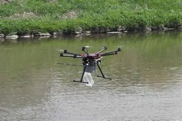
Monitoring city water bodies (lakes, rivers, ponds).
Checking air pollution using drones with sensors.
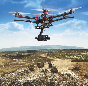
Landfill monitoring and waste management planning.
Assessing urban biodiversity and habitats.
Flood risk assessment in low-lying city areas.
Erosion monitoring along riversides.
Monitoring sewage treatment plants and effluent discharge.
Tracking groundwater recharge areas.
Deforestation mapping in urban expansion zones.
Wetland monitoring near cities.
Illegal construction detection in green zones.
Environmental Impact Assessments (EIA) using drones.
Disaster Management & Risk Assessment
Flood risk mapping of urban zones.
Real-time monitoring of flood-affected areas.
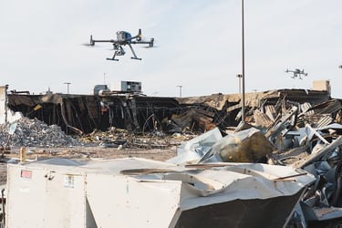
Damage assessment after earthquakes.
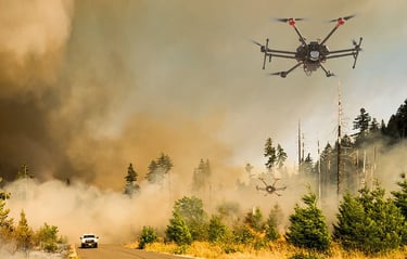
Rapid fire mapping in high-rise buildings.
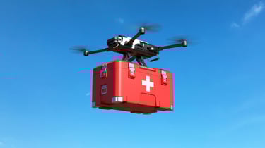
Disaster relief planning with aerial data.
Identifying safe evacuation routes.
Monitoring landslide risks in hilly urban regions.
Roof inspection after storms/cyclones.
Quick damage reporting for insurance claims.
Rescue support with live aerial video.
Identifying weak infrastructure in advance.
Post-disaster rebuilding assessment.
Monitoring refugee or relief camps.
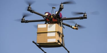
Coordinating emergency supplies in affected areas.
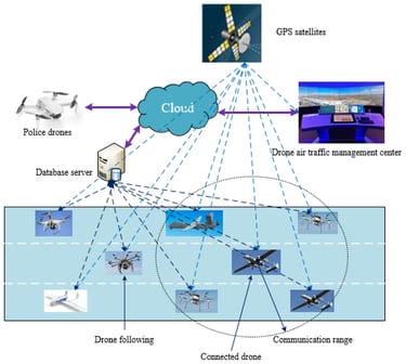
Assisting police and disaster authorities with real-time updates.
Client Showcase
Explore our valued clients


Drone Applications
Innovative solutions for urban planning and development using drone technology.


Drone Application
Explore how drones revolutionize urban planning and development with innovative solutions.
Drones streamline mapping process, saving time and resources. They provide accurate data.
John Doe
New York
Drones enhance efficiency in urban development projects. They offer real-time insights.
Jane Smith
Los Angeles
★★★★★
★★★★★
Contact Us
Get in touch with us to learn more about our drone solutions in urban planning and development. We are here to answer any questions you may have.
Contact
9821653324,
info@inspired-robots.com
Copyright © Inspired-robots 2024-2025. All Rights Reserved.
Inspired Robots Unmanned Systems (OPC) Private Limited
Stirring minds
Kundan mansion,2-A/3, Asaf Ali Road, Turkman Gate, Chandani Chowk, New Delhi, Delhi 110002
info@inspired-robots.com
+91-9821653324
Legal
custom machines for your unique solutions