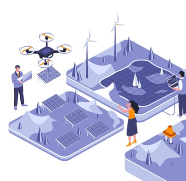
Drone Solutions for Advanced Aerial Surveillance
Perimeter & Area Surveillance
Continuous patrolling of large industrial or restricted zones.
Detecting unauthorized entries or intrusions in real time.
Automated route mapping for consistent monitoring.
Recording visual evidence for security audits.
Identifying boundary gaps and weak fencing areas.
Monitoring night operations with infrared cameras.
Integrating live feeds into security control rooms.
Reducing manpower dependency in large-area patrolling.
Detecting suspicious activities through motion analytics.
Supporting rapid response with GPS-tagged coordinates.
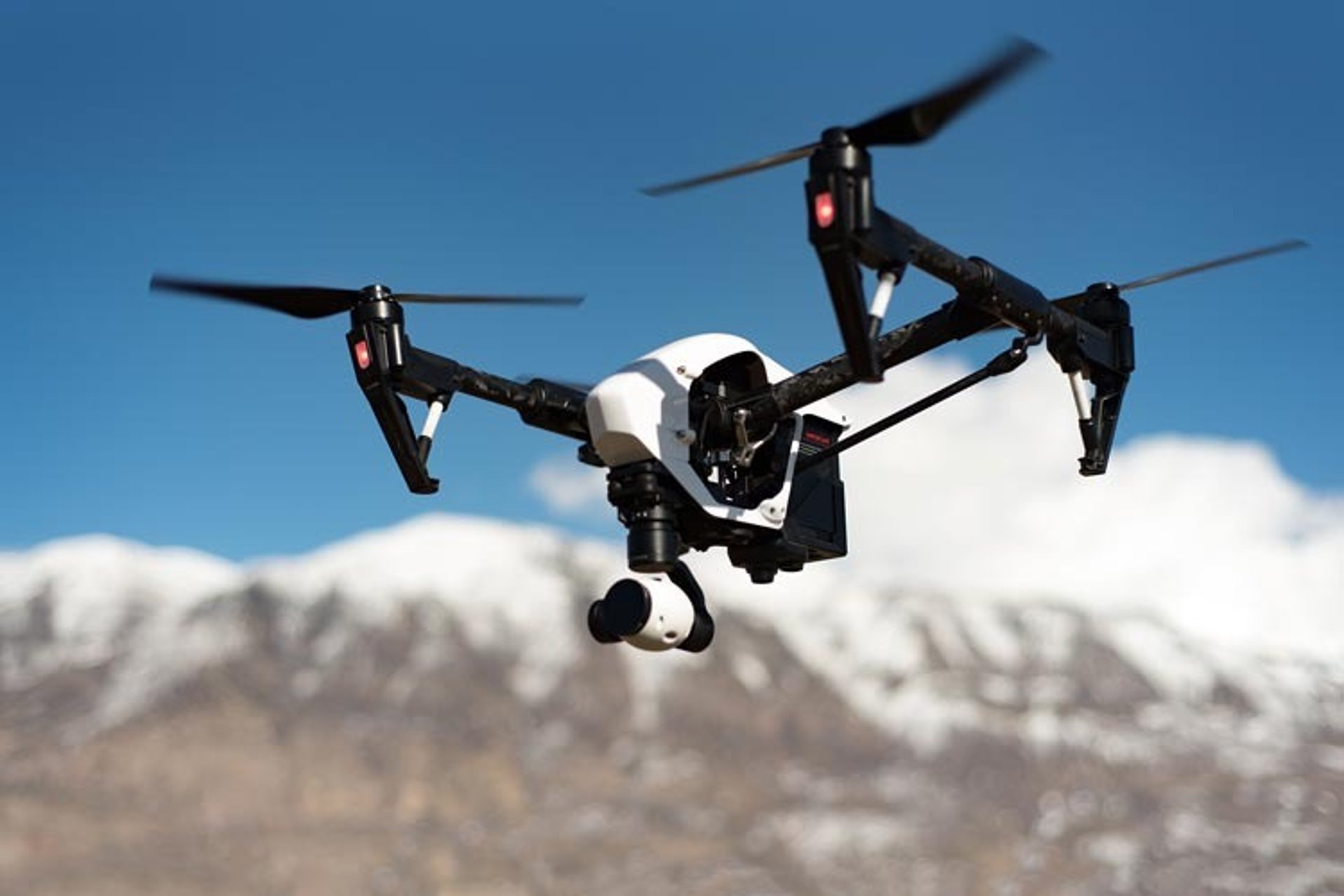
Industrial & Infrastructure Security
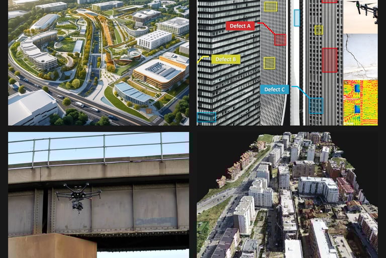
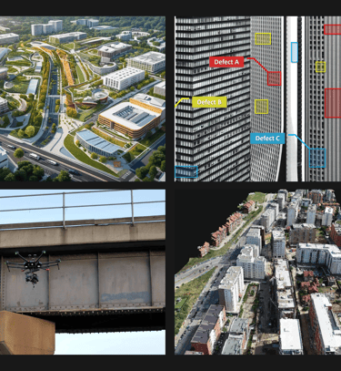
Monitoring construction sites, refineries, and factories.
Inspecting power plants, towers, and storage facilities.
Real-time supervision of restricted or hazardous locations.
Tracking worker movement for safety compliance.
Monitoring rooftop, chimney, and structural activities.
Detecting smoke or thermal variations indicating hazards.
Preventing theft and equipment damage using visual surveillance.
Capturing large-scale operations in high-resolution imagery.
Integrating data into asset management systems.
Supporting 24×7 coverage using automated CCTVs.
Crowd & Event Monitoring
Tracking crowd density during public events.
Identifying potential congestion and entry-exit patterns.
Monitoring parking and access zones for crowd flow.
Supporting police with real-time aerial visuals.
Assisting emergency teams during evacuation.
Monitoring VIP or restricted zones securely.
Detecting suspicious behavior from an elevated view.
Enhancing public safety in mass gatherings.
Documenting event logistics and management.
Providing post-event analysis and incident review.
Emergency & Disaster Response
Rapid aerial assessment during fires, floods, or earthquakes.
Identifying trapped individuals or damaged structures.
Delivering first visuals to emergency command centers.
Mapping damage zones for rescue planning.
Monitoring post-disaster recovery progress.
Guiding rescue teams with live aerial data.
Assessing access roads and safe zones.
Providing time-stamped video evidence for relief operations.
Assisting in hazardous spill monitoring.
Supporting government agencies in disaster mapping.
Border & Law Enforcement
Surveillance of border areas and coastal regions.
Monitoring illegal mining or encroachment activities.
Tracking vehicle movements in restricted zones.
Gathering aerial evidence for investigations.
Supporting night-time operations using thermal imaging.
Monitoring forest or wildlife poaching areas.
Enforcing environmental and safety compliance.
Assisting police and defence with real-time visuals.
Documenting patrol routes and activity logs.
Ensuring 24/7 situational awareness.

Copyright © Inspired-robots 2024-2025. All Rights Reserved.
Inspired Robots Unmanned Systems (OPC) Private Limited
Stirring minds
Kundan mansion,2-A/3, Asaf Ali Road, Turkman Gate, Chandani Chowk, New Delhi, Delhi 110002
info@inspired-robots.com
+91-9821653324
Legal
custom machines for your unique solutions